top of page

BE A PART OF THE

Western Reaches Access Activation Plan 

The Western Reaches Access Activation Plan builds on decades of community work to implement the San Joaquin River Parkway Master Plan. 

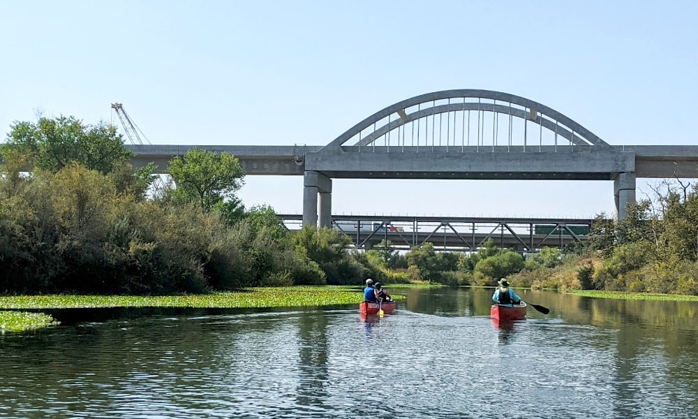
The San Joaquin River Parkway is a planned 22-mile regional natural and recreation area primarily in the river’s floodplain extending from Friant Dam to Highway 99, encompassing portions of both Fresno and Madera Counties.

The San Joaquin River Parkway Master Plan envisions: 

  • a primary multi-use trail from Friant Dam to Highway 99 (22 +/- river miles);

  • contiguous and continuous wildlife habitat and movement corridors;

  • a regional, multifaceted parkway experience for visitors, consisting of river access, low-impact recreation, and conservation education; and

  • functional regional conservation and restoration of habitat, the watershed, and ecosystems.

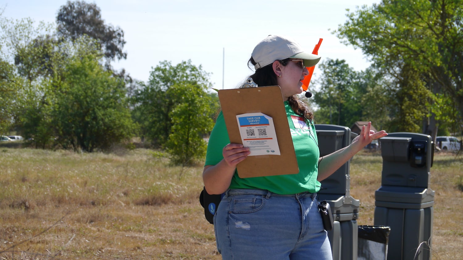
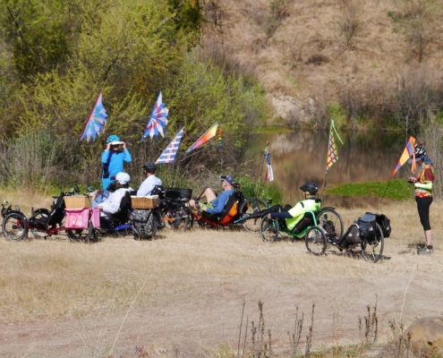
The Western Reaches Access Activation Plan is bringing people together and engaging people who have never been to the river to create access and recreational opportunities that are welcoming and culturally relevant.   

The San Joaquin River Parkway includes public lands and improvements owned by the San Joaquin River Conservancy (Conservancy), City of Fresno, County of Fresno, State Lands Commission, California Department of Fish and Wildlife (CDFW), Wildlife Conservation Board (WCB), and Fresno County Office of Education, and those owned by the nonprofit San Joaquin River Parkway & Conservation Trust (River Parkway Trust).

The San Joaquin River is the second largest watershed in California. It serves the Fresno and Madera region’s agriculture, recreation, and water supply needs. It historically provided for commercial navigation, and now provides for recreational boating. Its waters provide for unsurpassed agricultural production throughout the San Joaquin Valley. It supports important natural ecosystems, and once provided sustenance for numerous indigenous people.

On full build-out the Parkway will include a multi-use trail extending the entire length, an interconnected recreational trail system, habitat conservation areas and a protected wildlife movement corridor, non-motorized boating trail, low impact recreation areas, educational and interpretive programs and features, watershed improvements, and ancillary facilities.

The San Joaquin River Parkway is starting to be known, but we need some help to reach communities that don't always think of the San Joaquin River as theirs

SJRP1.jpg

The Western Reaches Access Activation Plan builds on the momentum of numerous community efforts to enhance, protect, and expand access to outdoor recreation and natural spaces for all Fresnans.

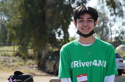
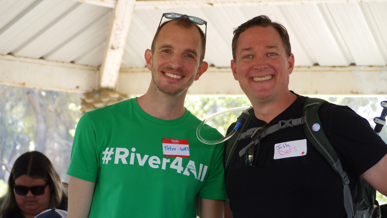
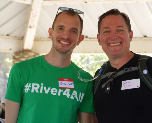
Creating a #River4all is key to #OneHealthyFresno

P1080958.JPG

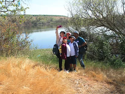
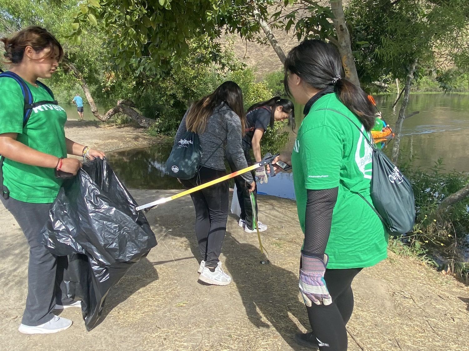
Public lands and open green spaces promote healthy children, adults, and families!

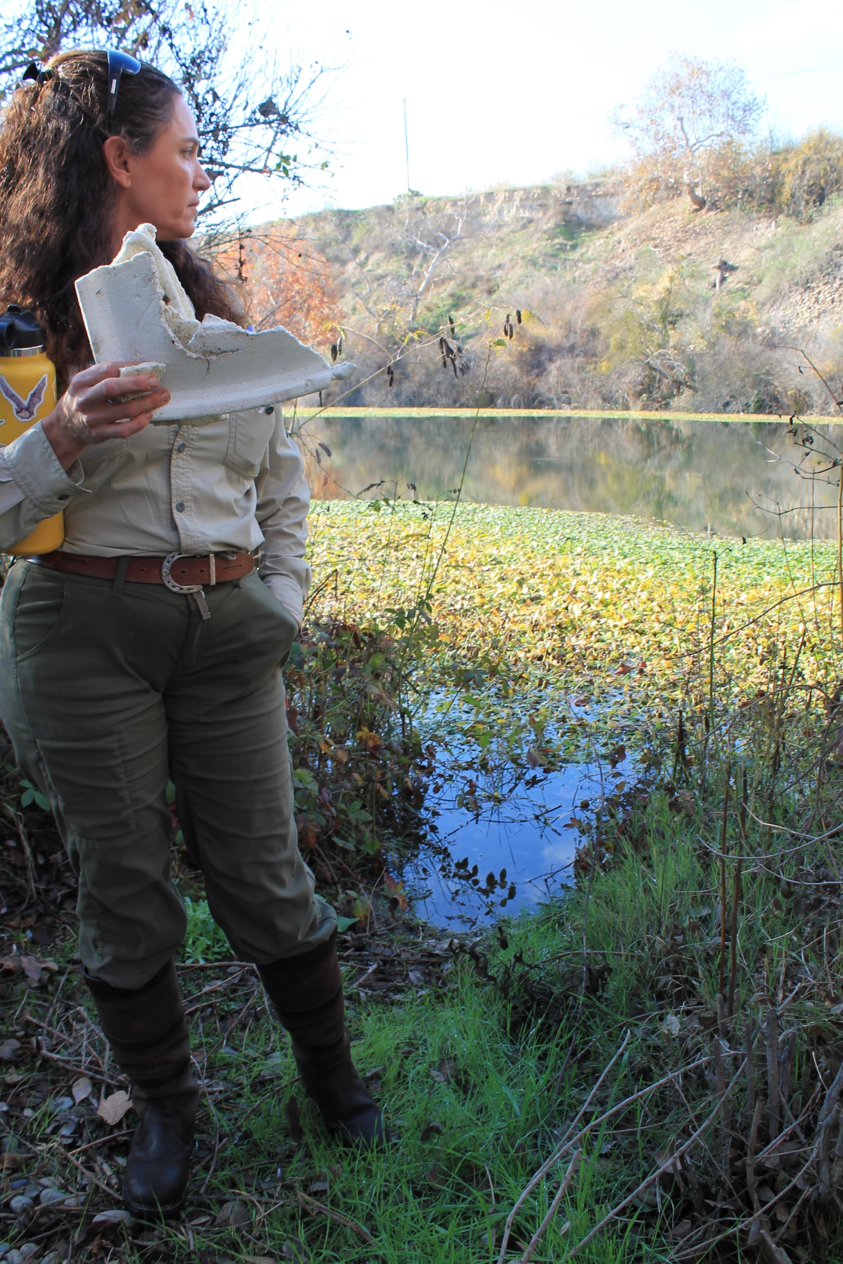
Studies show that people of all ages, cultures and backgrounds benefit from time working and playing outside. Public land and green spaces make that possible!


IMG_0732.JPG

WRAAP  Project Partners: 

Access to our public water ways creates educational opportunities and helps strengthen community preservation efforts.

When diverse people have access to public water ways, they create social bonds and share in the education of our environment and our climate, and how we can collectively continue to preserve our precious natural resources. 


WRT Logo_WRT Bubble_Charcoal.png
RiverTree logo.jpg
1.Logo3PNG-UDD-1-17-17.jpg
f_consv_small.tif

Everyone in the Central Valley deserves to have access to a
well-maintained and easily accessible river they can be proud of.

Creating a #River4All

The Access and Activation Plan unlocks the San Joaquin River to become a productive ecological system and public destination serving Fresno and Madera Counties. It continues a tradition of advocacy by the San Joaquin River Conservancy and its partners. The project extents include 4 miles of river parkway from the Millburn Overlook to Highway 99 with a focus on Camp Pashayan. Funding was granted by the State of California Wildlife Conservation Board to the San Joaquin River Conservancy Board.


The design of this project is the result of immense community engagement, and the involvement of local stakeholders that have a shared love for the river, be it deeply embedded and ancestral for some or newly found for others. There are multiple scales to the project, ranging from the 32-mile river valley (as overseen by the San Joaquin River Conservancy) to the design of specific water access points at Camp Pashayan property near Highway 99. The story of this project has been organized into four chapters intended to bring readers along with the design process and create shared understanding of the project’s challenges and potentials. It also details next steps and provides a road map for maintaining

momentum forward to implementation. A robust Appendix contains material generated for the project that is not integral to storytelling here but nonetheless provides necessary technical depth and background for future phases.


The project was lead by Fresno Building Healthy Communities co-managed with Urban Diversity Design (UDD). The Consultant Team included WRT as the prime consultant and landscape architect, Provost & Pritchard (Environmental and Civil Engineering), WARE & Associates (Architecture), Inke (Wayfinding and Signage),

Design Lab 252 (Irrigation Design), Lucchesi (Soil Consulting).

Photo Gallery

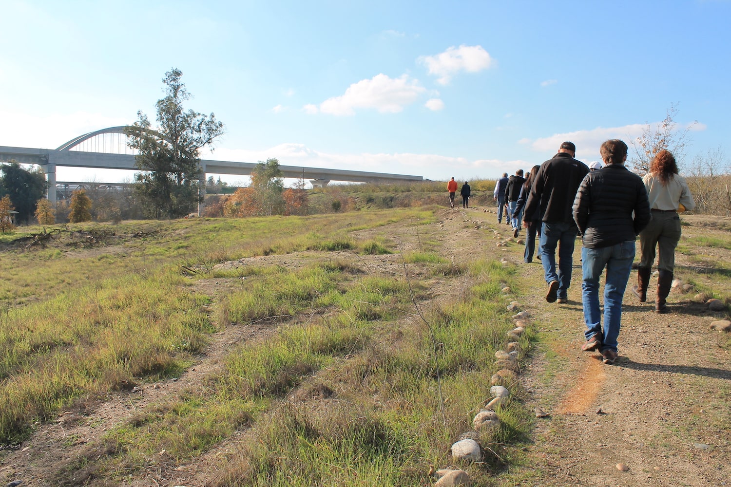
Camp P is an underutilized natural area that is within reach for Fresnans and south Maderans.

Join our mailing list to stay up-to-date on our #River4All efforts!

Thanks for subscribing!

bottom of page